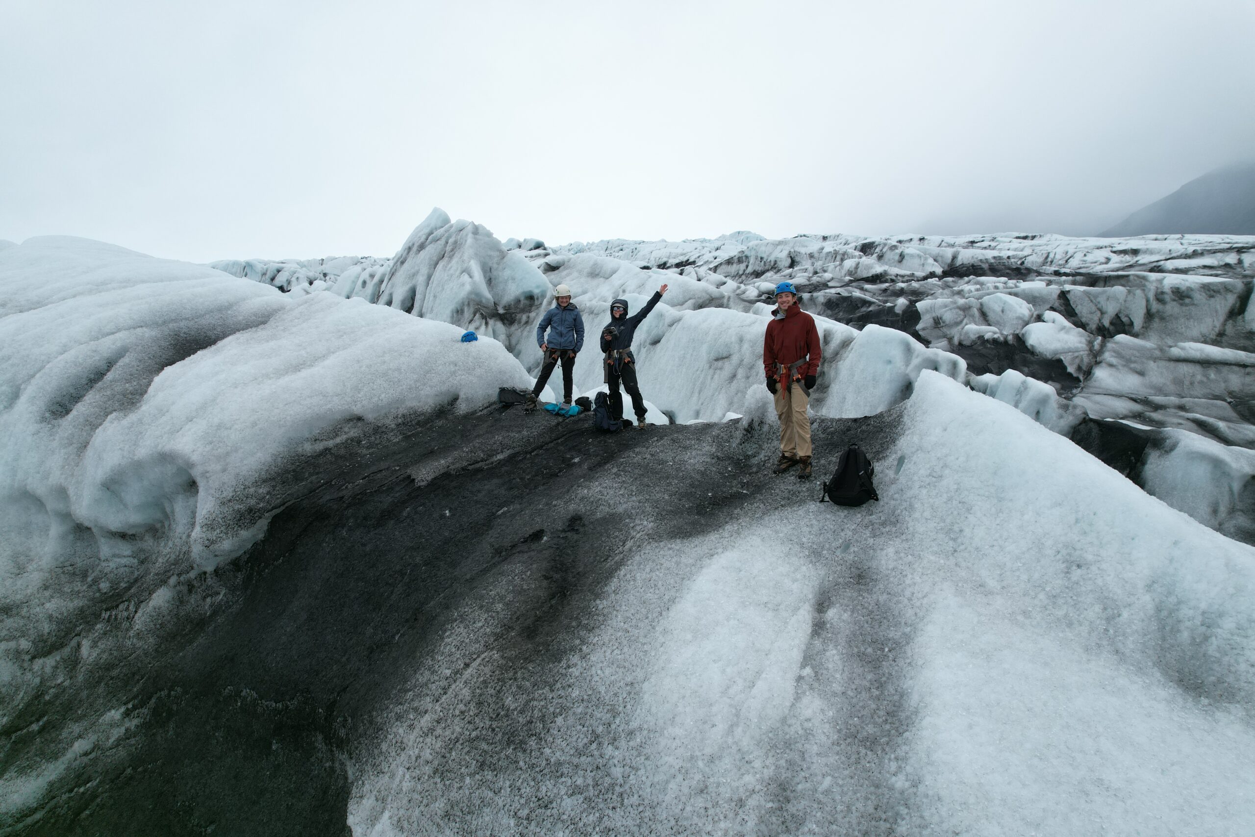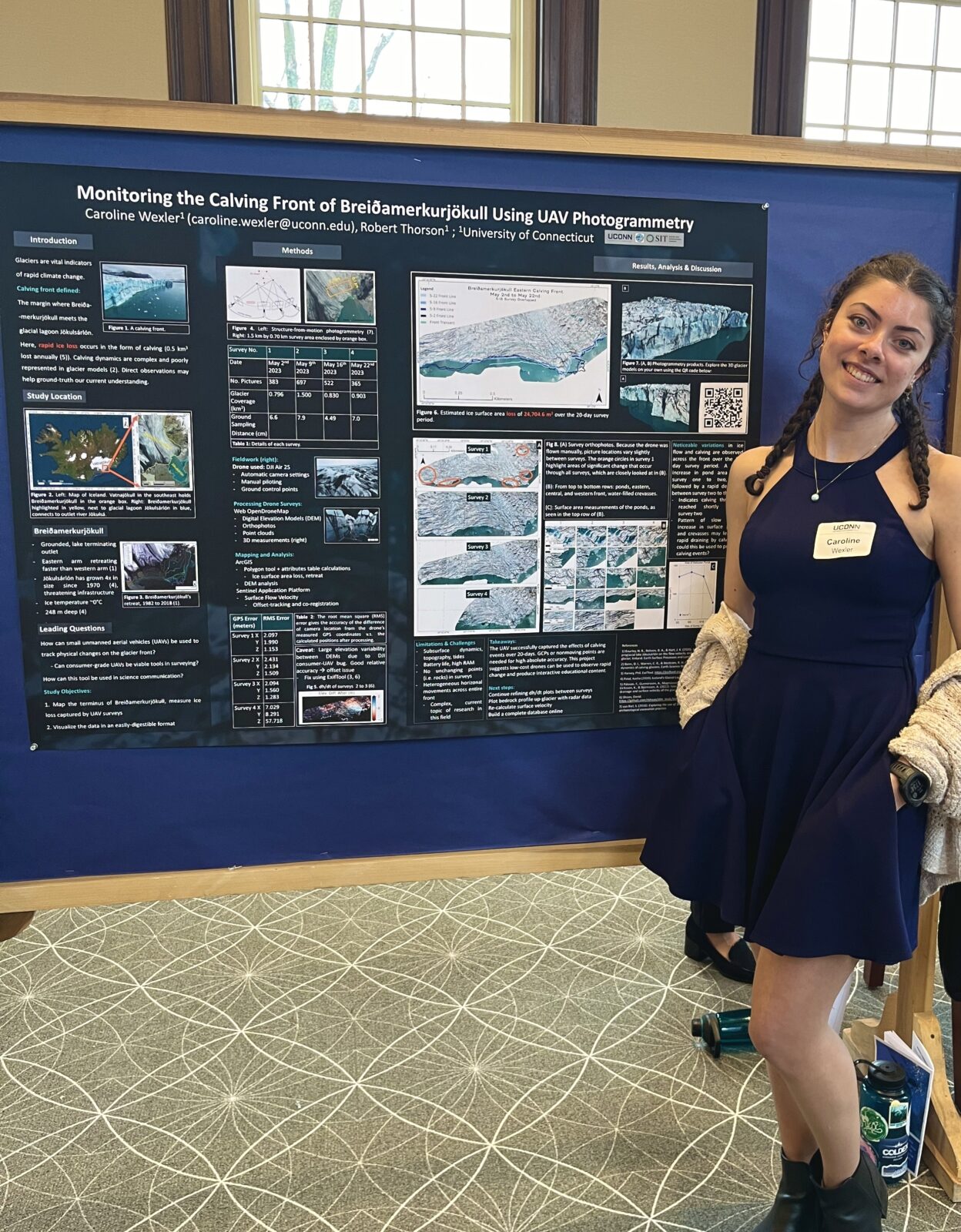

Caroline Wexter, a student in SIT, did a drone mapping research project at Breiðamerkurjökull glacier with the help of Glacier Adventure in the Spring of 2023.
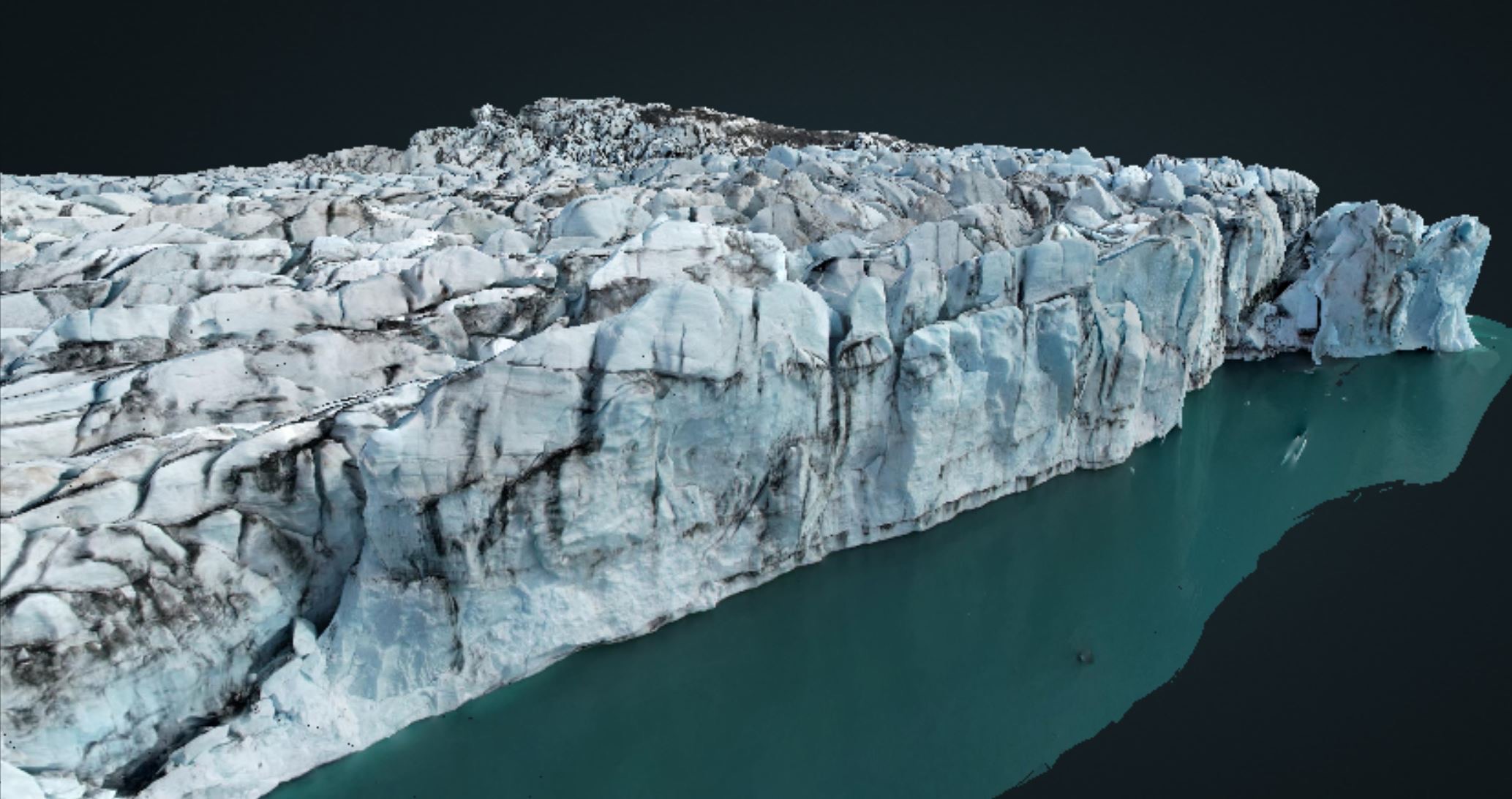
One of the project goals was to create something that could be used for science education and communication. For that, she created 4 3D models of the calving front, which she put into an online folder for anyone to view and explore the glacier on their own. You can view the models here
Also, as a side project, she uploaded the three 3D models of the crystal ice cave into another public folder here
This research project had two main goals:
(1) I wanted to see if I could record and quantify physical changes in the glacier’s terminus (the end of the glacier) using a small consumer-grade drone.
Goal (2) was to create something tangible so that anyone could explore the glacier virtually and get excited about science.
Field work was a huge part of this project and I cannot thank everyone enough at Glacier Adventure for their help. This project wouldn’t have been possible without them! I carried out four separate drone surveys (with a research permit to conduct my work at Vatnajökull National Park) over 20 days in April and May 2023.
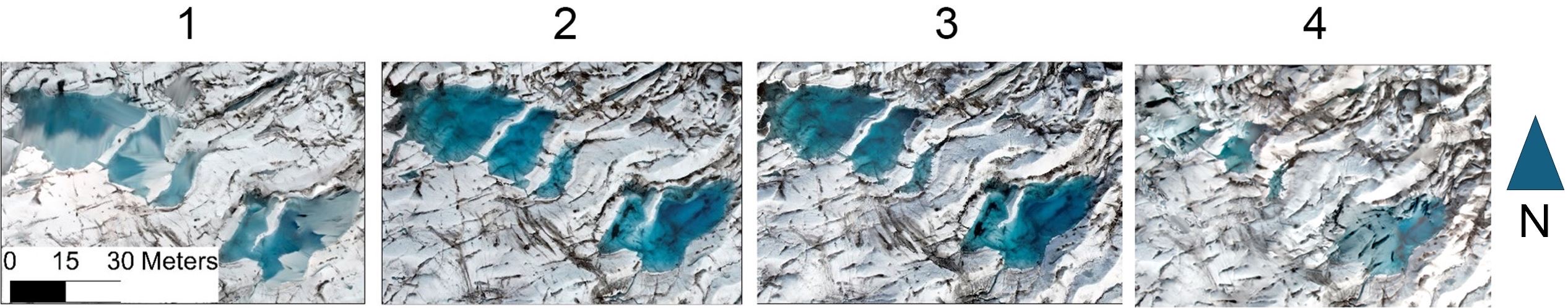
To my surprise, the small drone captured very high-resolution, accurate maps of the terminus throughout the surveys. Due to this, I was able to make some measurements of the ice loss and surface area of supraglacial (on top of the glacier) ponds. For example, the surface area of these supraglacial ponds rapidly declined between surveys 3 and 4, potentially suggesting a calving event drained out all of the water between those two surveys.
Seeing rapid glacier change right before my eyes is both amazing and unnerving. With these tools, however, we can better understand how climate change will impact our planet’s most sensitive systems.
Best,
Caroline Wexler